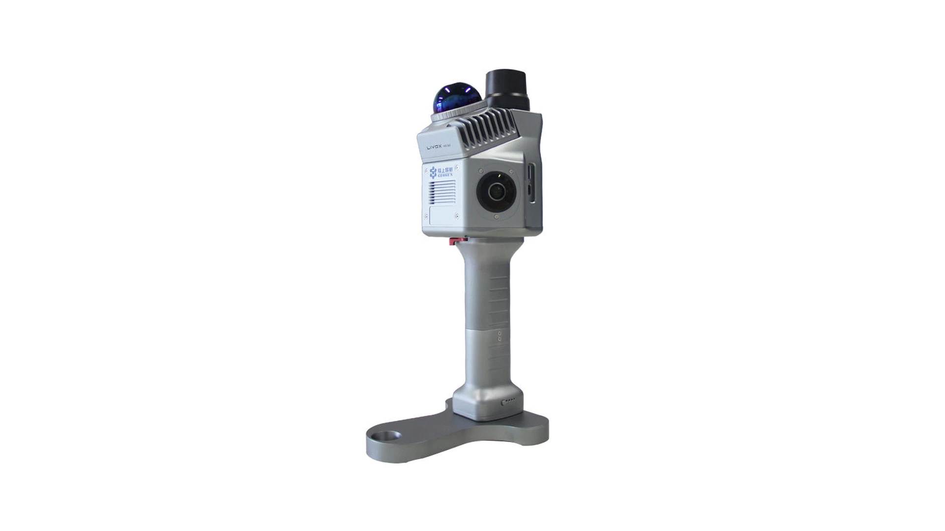
Which files do I receive after LiDAR scan?
The form of surrender is defined in advance
Before doing this, we harmonise the format and scope depending on where you use the data. Do not assume that each requested capture contains all export formats, CAD model or simulation. Give us the name and version of the program and contact of the operator who will take over the files.
For download we recommend list of files, project code, date of capture, units, orientation and description of the agreed area. In the case of more demanding imports, a preliminary sample check makes sense.
Also check associated files
Autodesk explains that RCP is a project that refers to RCS files. [1] This is an example of why only one project file is not necessarily a complete surrender. It is an explanation of the data structure, not a promise of a certain format in each order.
At the time of takeover, check that the agreed package is opened in the target environment, shows the right area and that the restrictions are clearly marked. The final delivery volume must be recorded in the offer.
[1] Autodesk: About the Reality Capture Process. https://help.autodesk.com/cloudhelp/ENU/Reality-Capture/files/Getting_Started/about_reality_capture.html

